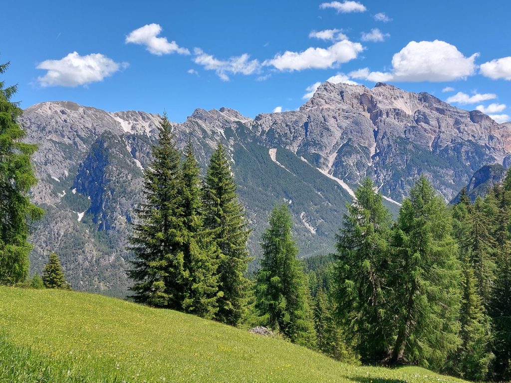
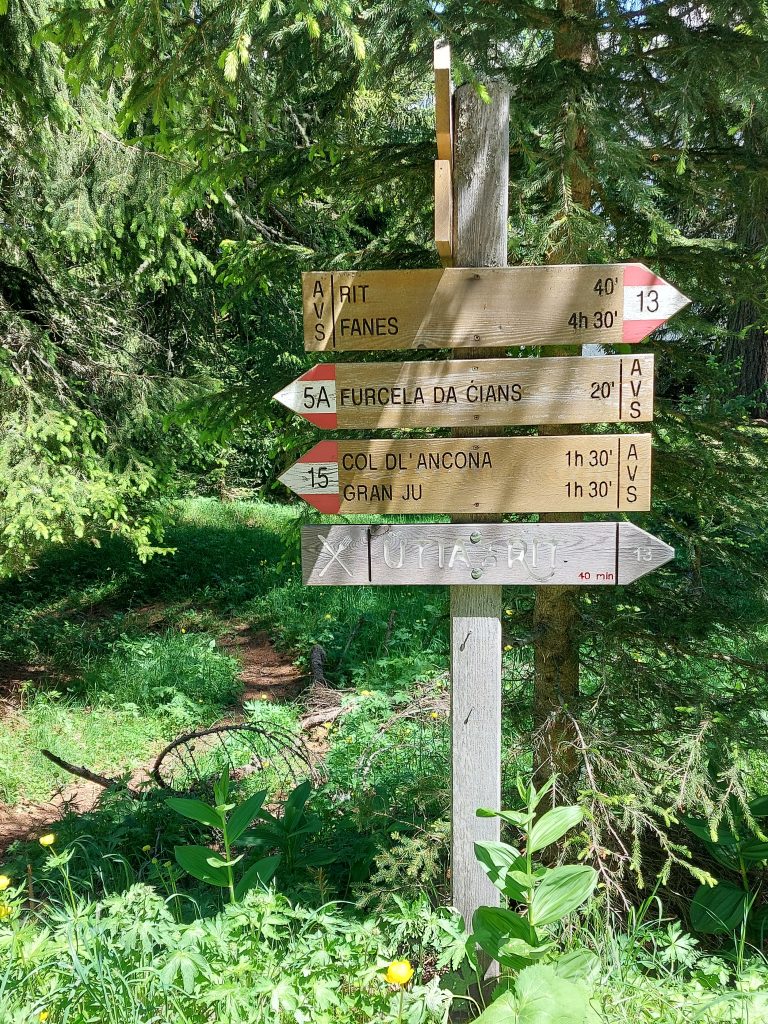
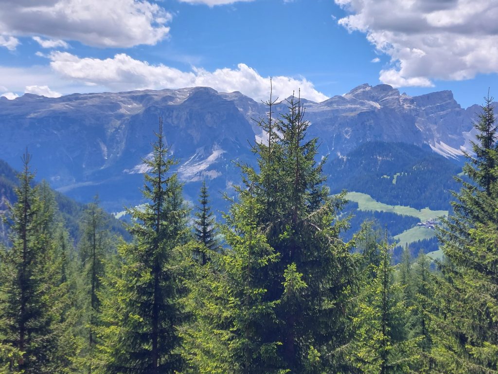
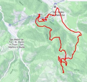
We started exploring the area by hiking to Rit, following route 13. In the Dolomites the waymarking is excellent, but on this day, we did get lost. This happened because we weren’t familiar yet with the area and distances, were carrying a pretty useless map and were trying to combine hiking routes. Thankfully there were some other hikers up there who pointed us in the right direction. As we don’t speak Italian, it was very nice that in this area of Italy, everybody can speak German.


This was a hike of 19 kilometres, 926 metres elevation.
<- Getting there
-> Lago di Braies
