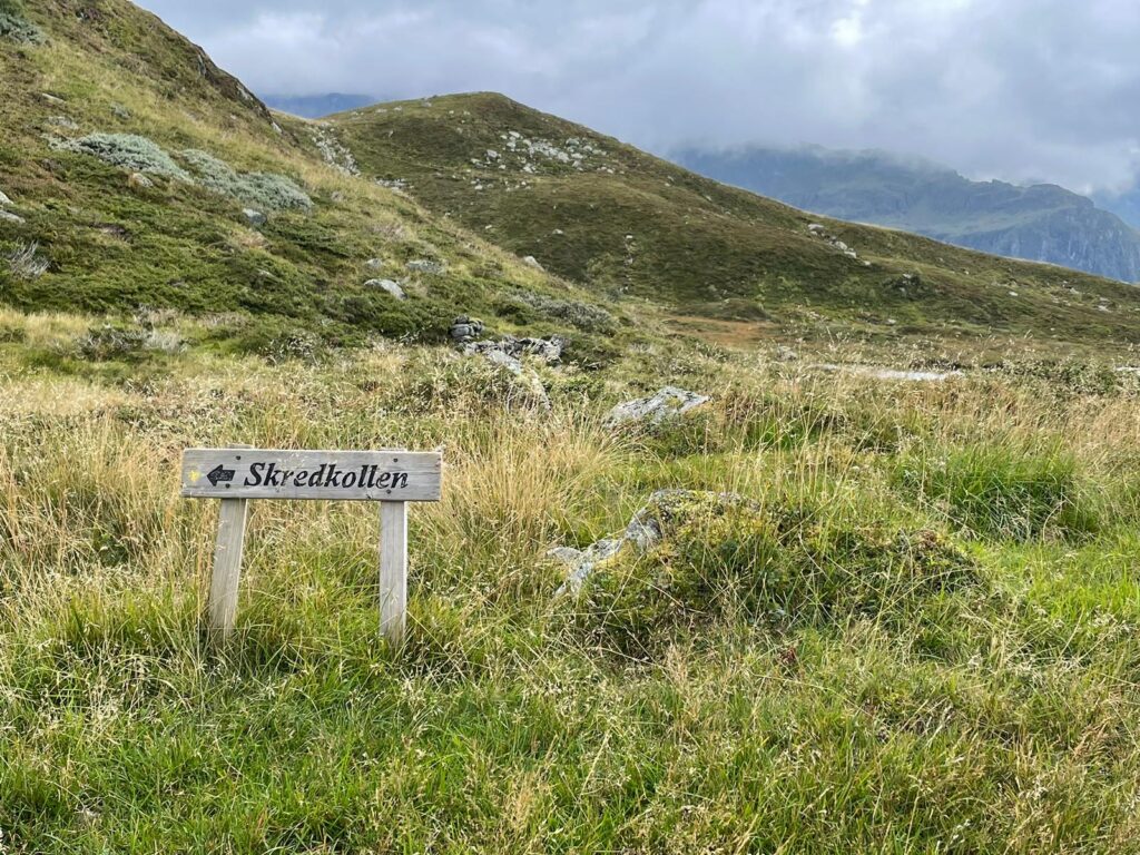
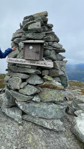
 Again, we used the brilliant ut.no-app to find a hiking route close by. We chose Skredkollen, which is 908 metres high. The first part of the hike was terrible: a boring and very steep tractor road. After some 30-45 minutes the path got much better. At first, we followed the red T’s, and after a while turned left to follow the yellow signs. The yellow path was stunning.
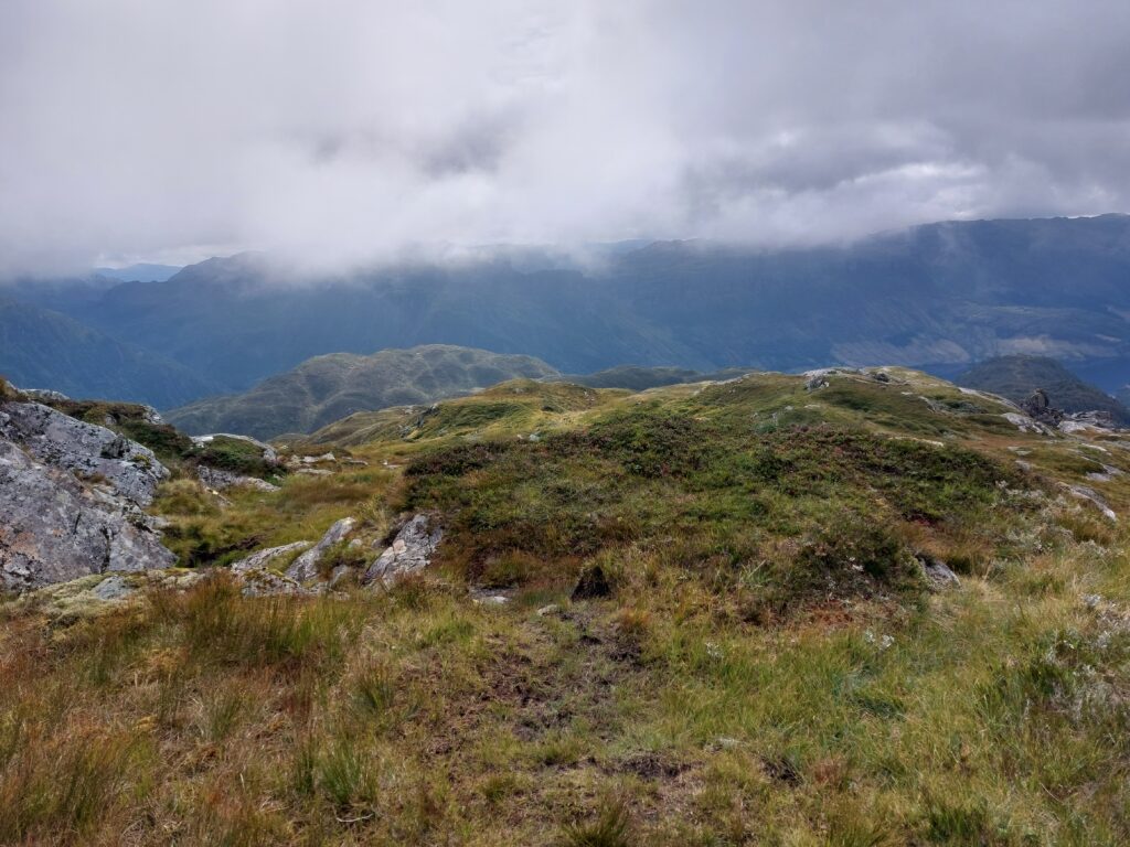
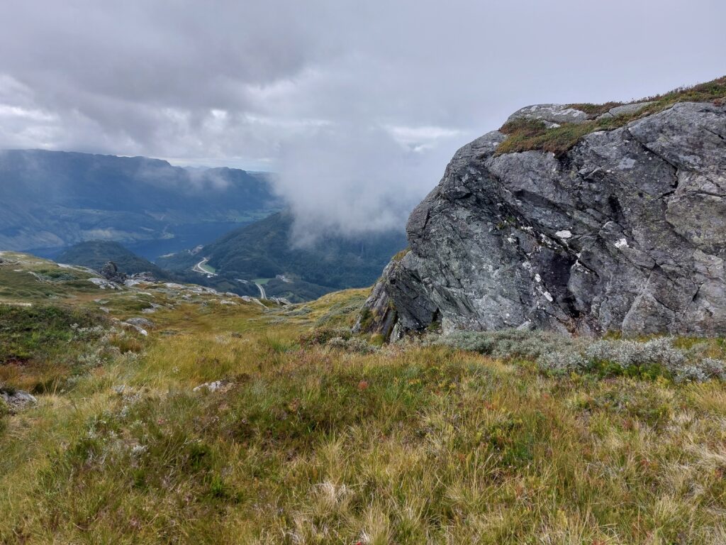 As you get near to the top, you’re quite exposed: it’s windy and cold. To our surprise, after having walked in total solitude for over an hour, at the top there were two other hikers, who found it an easy walk. We were amused: at home in our flat country, we think we’re pretty athletic, but in Norway every hiker we met was in much better shape than we were.
On our way up, we had met a man who was waiting for his family: they were going to look for their sheep. The sheep roam around freely on the mountain, and normally they use a drone to locate them, but now they didn’t have the drone with them and were just going to find them by walking around. Going down, we met them again and could tell them where we had spotted the sheep. Again, we were impressed by how athletic everybody was. They probably go up there every weekend.
All in all, this hike is a little over 2 hours going up, and another 2 going down.
–> September 4: Towards Utne
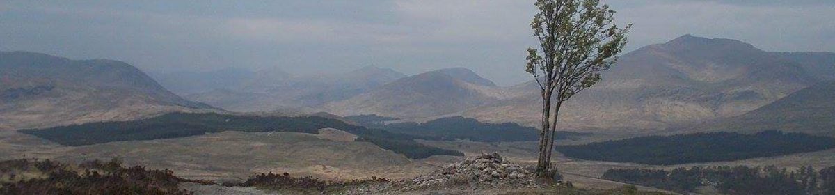
<– September 1 – Towards Kyrping