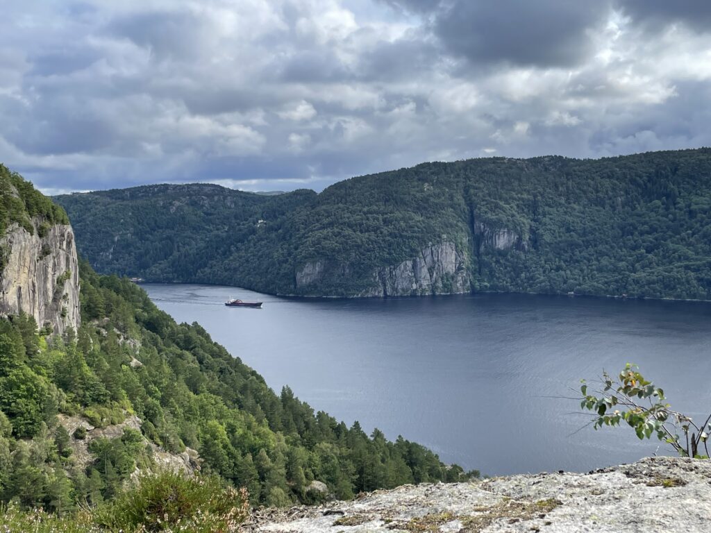
 In the area around the house, there were hiking routes signposted and on Tuesday, we started following one. This wasn’t as easy as expected! The area was very rough, in some places there were ropes to help you get across. Some parts were like a swamp. Because everything was so wet, the stones were slippery. We decided to abandon our original plan, to walk to the water, because we knew we’d have to return on the same path and didn’t want to do that twice. Instead, we started following blue signposts which led us to the top of Sageknuten. Here we had a nice view on the fjord.
It was a nice, quiet place to eat our lunch, in the sun. During our entire hike we didn’t meet any people, of course it was a Tuesday, so many Norwegians would have been at work.
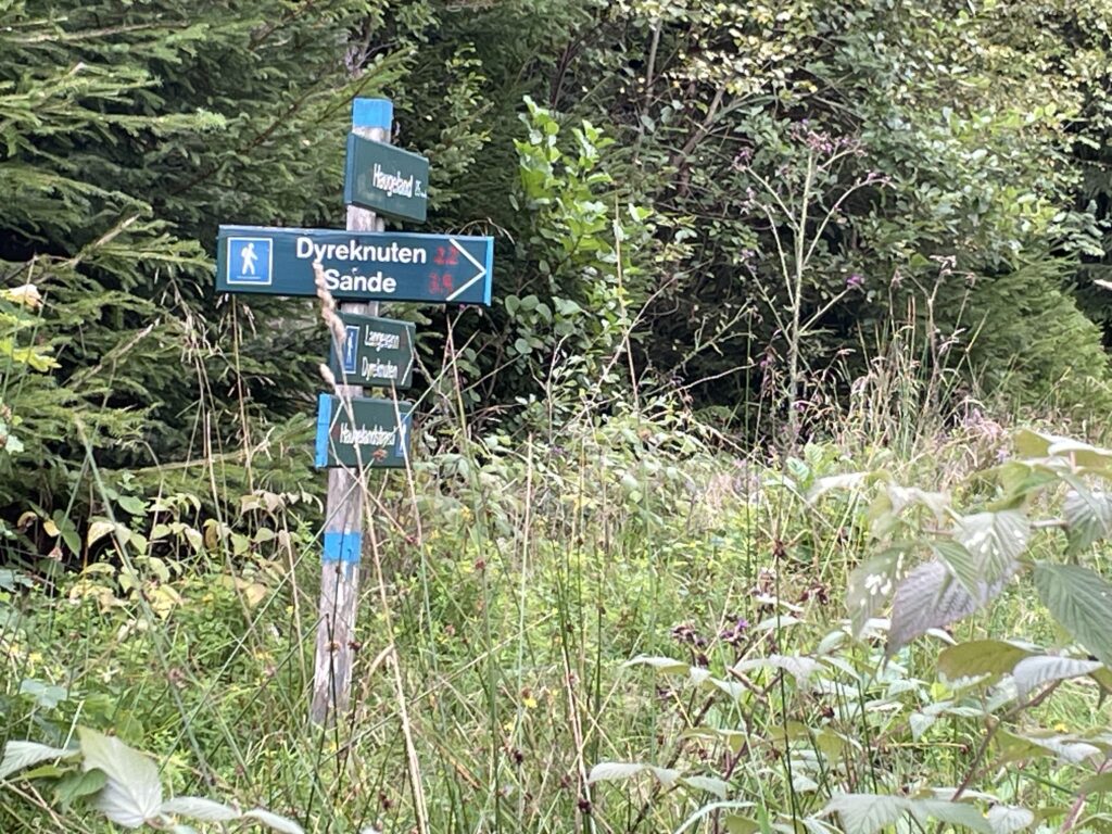
Going back we were saved by the brilliant ut.no-app. We didn’t know where the signposts were leading to, and had been wandering so much that we had no idea in what direction to go to find our house. We hadn’t bought good maps yet and when we had left, we had thought we’d follow an easy, straightforward, route. Which we didn’t. So if it weren’t for the app, we would have been in trouble. The app is truly fantastic: it shows the area, the paths and it shows were you are. It brought us back home safe and sound. The rest of our holiday, this app was our fantastic companion.